
WEATHER FORECAST FOR 19 June 2024
Issued at 12.00 noon on 18 June 2024
WEATHER FORECAST FOR 19 June 2024
Issued at 12.00 noon on 18 June 2024
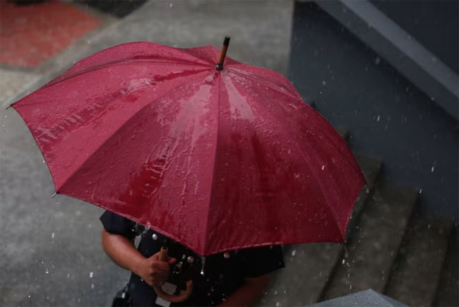
The prevailing rainy condition in the south-western part of the island is expected to be somewhat enhanced in the next few days from tomorrow (19th).
Showers will occur at times in Western, Sabaragamuwa and North-western provinces and in Kandy, Nuwara Eliya, Galle and Matara districts. Fairly heavy showers above 75 mm are likely at some places in Western and Sabaragamuwa provinces.
Showers or thundershowers may occur at a few places in Uva province and in Ampara and Batticaloa districts in the evening or night.
Strong winds of about (40-50) kmph can be expected at times over the Western slopes of the central hills, Northern, North-central and North-western provinces and in Trincomalee, Hambantota and Monaragala districts.
WEATHER FORECAST FOR SEA AREAS AROUND THE ISLAND DURING NEXT 24 HOURS. Issued at 12.00 noon on 18 June 2024.
Condition of Rain:
Showers may occur at times in the sea areas off the coast extending from Puttalam to Hambantota via Colombo and Galle.
Winds:
Winds will be south-westerly and wind speed will be (30-40) kmph.
Wind speed can increase up to 60 kmph at times in the sea areas off the coasts extending from Kankasanthurai to Puttalam via Mannar and from Hambantota to Pottuvil.
Wind speed can increase up to 50 kmph at times in the sea areas off the coasts extending from Puttalam to Hambantota via Colombo and Galle and from Trincomalee to Kankasanthurai via
Mullaitivu.
State of Sea:
The sea areas off the coasts extending from Kankasanthurai to Puttalam via Mannar and from Hambantota to Pottuvil can be rough at times.
The sea areas off the coasts extending from Puttalam to Hambantota via Colombo and Galle and from Trincomalee to Kankasanthurai via Mullaitivu can be fairly rough at times.
Naval and fishing communities are requested to be attentive in this regard.