
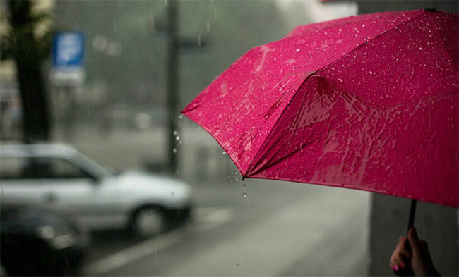
Heavy showers expected in parts of the island
The prevailing showery and windy conditions over the island are expected to continue further, due to the active Southwest monsoonal condition, says the Meteorology Department.
Showers will occur at times in Western, Sabaragamuwa, Central, North-western and Southern provinces.
Heavy showers above 100mm are likely at some places in Western and Sabaragamuwa province and in Nuwara-Eliya district.
Showers or thundershowers will occur at a few places in Uva province and in Ampara and Batticaloa districts in the evening or night.
Strong winds of about 50-60 kmph can be expected at times over Western slopes of the central hills and in Northern, North-central, Western, Southern and North-western provinces and in Trincomalee and Monaragala districts.
Sea Areas:
The sea areas around the island will be very rough due to the active south-west monsoonal condition. Naval and fishing communities are advised not to venture into the sea areas around the island, until further notice.
Waves heights may increase up to about 2.5 m – 3.5 m in the sea areas off the coast, extending from Kalpitiya to Pottuvil via Colombo, Galle, and Hambantota.
Therefore, there is a possibility that nearshore sea areas extending from Kalpitiya to Matara via Colombo and Galle, may experience surges due to sea waves.
Showers or thundershowers will occur at times in the sea areas off coast extending from Puttalam to Matara via Colombo.
Winds will be south-westerly in the sea areas around the island. Wind speed will be 40-50 kmph and wind speed may increase up to 60-70 kmph at times.
The sea areas around the island will be very rough at times
Wave heights may increase about 2.5–3.5 m in the sea areas off the coast extending from Kalpitiya to Pottuvil via Colombo, Galle, and Hambantota (this is not for land area).
Temporarily strong gusty winds and very rough seas can be expected during thundershowers.